
仁参墩下 topographic map
Interactive map
Click on the map to display elevation.
About this map
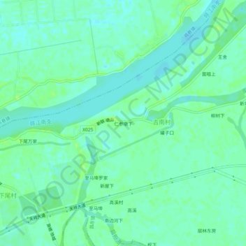
Name: 仁参墩下 topographic map, elevation, terrain.
Location: 仁参墩下, 吉南村, 昌东镇, 南昌高新区, 南昌市, 江西省, 中国 (28.75384 116.10126 28.79384 116.14126)
Average elevation: 16 m
Minimum elevation: 11 m
Maximum elevation: 23 m