
Andes topographic map
Interactive map
Click on the map to display elevation.
About this map
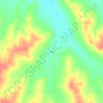
Name: Andes topographic map, elevation, terrain.
Location: Andes, Richland County, Montana, United States (47.93557 -104.56884 47.97557 -104.52884)
Average elevation: 667 m
Minimum elevation: 635 m
Maximum elevation: 705 m