
Bouhatem topographic map
Interactive map
Click on the map to display elevation.
About this map
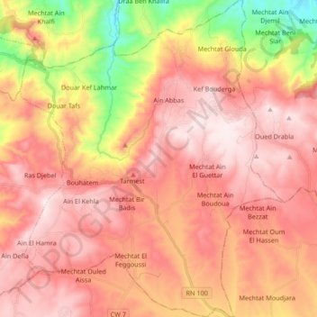
Name: Bouhatem topographic map, elevation, terrain.
Location: Bouhatem, Daïra Bouhatem, Mila, 43001, Algérie (36.24732 5.97911 36.38168 6.11818)
Average elevation: 891 m
Minimum elevation: 473 m
Maximum elevation: 1,142 m