
Cedar Island State Park topographic map
Interactive map
Click on the map to display elevation.
About this map
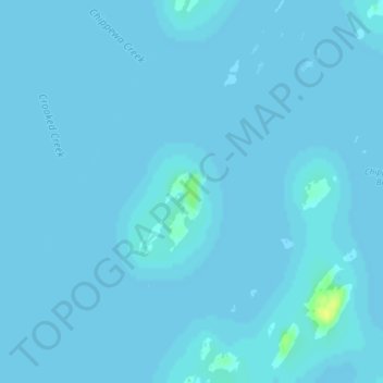
Name: Cedar Island State Park topographic map, elevation, terrain.
Average elevation: 74 m
Minimum elevation: 73 m
Maximum elevation: 90 m
Other topographic maps
Click on a map to view its topography, its elevation and its terrain.
Town of Hammond
United States > New York > Saint Lawrence County > Town of Hammond
Town of Hammond, Saint Lawrence County, New York, United States
Average elevation: 99 m