
Daggett County topographic map
Interactive map
Click on the map to display elevation.
About this map
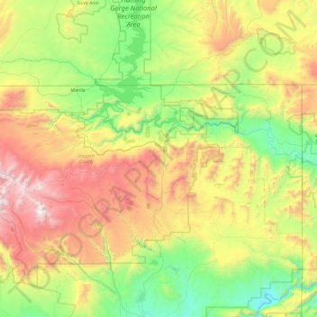
Name: Daggett County topographic map, elevation, terrain.
Location: Daggett County, Utah, United States (40.66239 -110.00071 41.00211 -109.04843)
Average elevation: 2,270 m
Minimum elevation: 1,508 m
Maximum elevation: 3,735 m