
de Lutte topographic map
Interactive map
Click on the map to display elevation.
About this map
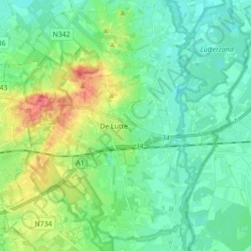
Name: de Lutte topographic map, elevation, terrain.
Location: de Lutte, Losser, Overijssel, Netherlands (52.27949 6.93433 52.34926 7.05723)
Average elevation: 42 m
Minimum elevation: 24 m
Maximum elevation: 86 m