
Gits topographic map
Interactive map
Click on the map to display elevation.
About this map
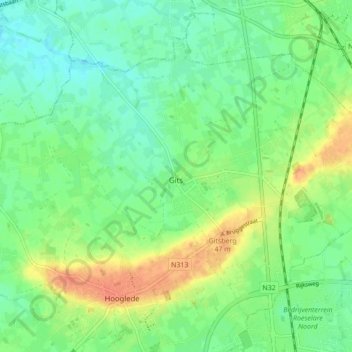
Name: Gits topographic map, elevation, terrain.
Location: Gits, Hooglede, Roeselare, West Flanders, Flanders, Belgium (50.97594 3.06466 51.01904 3.15058)
Average elevation: 26 m
Minimum elevation: 10 m
Maximum elevation: 52 m