
Lansing topographic map
Interactive map
Click on the map to display elevation.
About this map
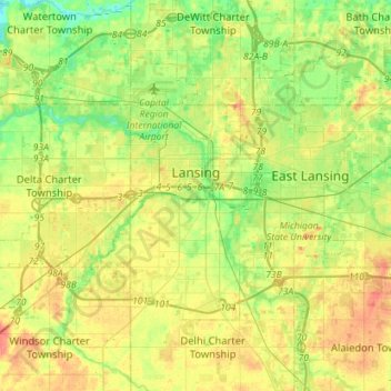
Name: Lansing topographic map, elevation, terrain.
Location: Lansing, Ingham County, Michigan, USA (42.64748 -84.70127 42.76987 -84.41758)
Average elevation: 264 m
Minimum elevation: 240 m
Maximum elevation: 294 m