
El Tarf topographic map
Interactive map
Click on the map to display elevation.
About this map
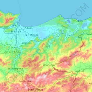
Name: El Tarf topographic map, elevation, terrain.
Location: El Tarf, Algeria (36.39108 7.66602 36.95199 8.68113)
Average elevation: 287 m
Minimum elevation: -4 m
Maximum elevation: 1,399 m