
Griffin topographic map
Interactive map
Click on the map to display elevation.
About this map
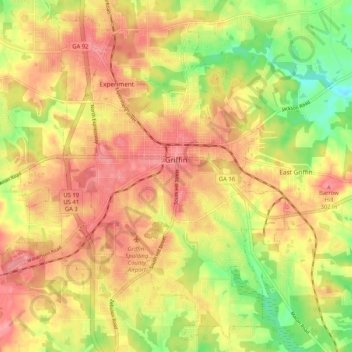
Name: Griffin topographic map, elevation, terrain.
Location: Griffin, Spalding County, Georgia, 30224, United States (33.20226 -84.32914 33.28298 -84.22553)
Average elevation: 270 m
Minimum elevation: 220 m
Maximum elevation: 305 m