
Ely topographic map
Interactive map
Click on the map to display elevation.
About this map
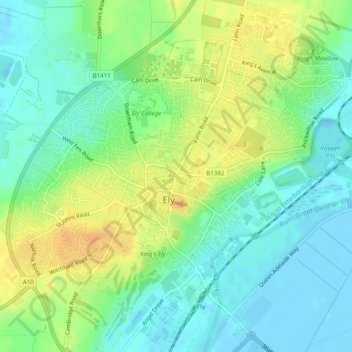
Name: Ely topographic map, elevation, terrain.
Location: Ely, Cambridgeshire, East of England, England, United Kingdom (52.38615 0.24029 52.41585 0.28644)
Average elevation: 13 m
Minimum elevation: -4 m
Maximum elevation: 29 m