
Guangzhou City topographic map
Interactive map
Click on the map to display elevation.
About this map
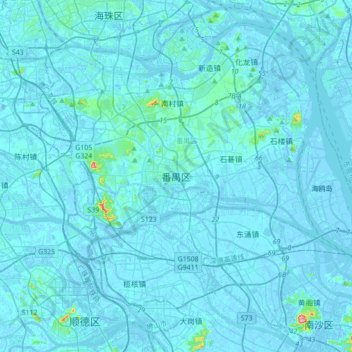
Name: Guangzhou City topographic map, elevation, terrain.
Location: Pānyú, Panyu District, Guangzhou City, Guangdong, PRC (22.77873 113.21854 23.09873 113.53854)
Average elevation: 6 m
Minimum elevation: -13 m
Maximum elevation: 193 m
Other topographic maps
Click on a map to view its topography, its elevation and its terrain.
Guangzhou City
PRC > Guangdong > Guangzhou City
Haizhu, Haizhu District, Guangzhou City, Guangdong, 510310, PRC
Average elevation: 20 m
Conghua District
PRC > Guangdong > Guangzhou City
Conghua District, Guangzhou City, Guangdong, PRC
Average elevation: 184 m
Guangzhou City
PRC > Guangdong > Guangzhou City
Nansha, Nansha District, Guangzhou City, Guangdong, 511457, PRC
Average elevation: 4 m