
Gyirong topographic map
Interactive map
Click on the map to display elevation.
About this map
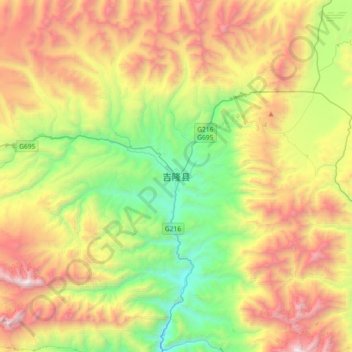
Name: Gyirong topographic map, elevation, terrain.
Location: Gyirong, Gyirong County, Shigatse, Tibet, PRC (28.69590 85.13503 29.01590 85.45503)
Average elevation: 4,945 m
Minimum elevation: 3,877 m
Maximum elevation: 6,495 m