
Oštrc topographic map
Interactive map
Click on the map to display elevation.
About this map
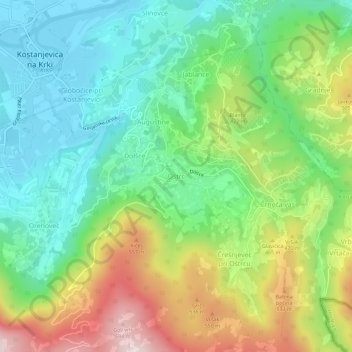
Name: Oštrc topographic map, elevation, terrain.
Location: Oštrc, Lower Sava Statistical Region, 8311, Slovenia (45.81229 15.42245 45.85229 15.46245)
Average elevation: 342 m
Minimum elevation: 147 m
Maximum elevation: 704 m