
Klein Zonneputje topographic map
Interactive map
Click on the map to display elevation.
About this map
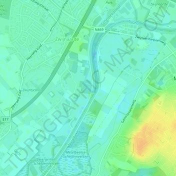
Name: Klein Zonneputje topographic map, elevation, terrain.
Average elevation: 9 m
Minimum elevation: 0 m
Maximum elevation: 28 m
Other topographic maps
Click on a map to view its topography, its elevation and its terrain.
Brugsevaart
België > Vlaanderen > Gent
Brugsevaart, Gent, Oost-Vlaanderen, Vlaanderen, 9030, België
Average elevation: 7 m
Westelijke Leie
België > Vlaanderen > Gent
Westelijke Leie, Gent, Oost-Vlaanderen, Vlaanderen, 9000, België
Average elevation: 8 m