
Shing Mun Valley Park (North Garden) topographic map
Interactive map
Click on the map to display elevation.
About this map
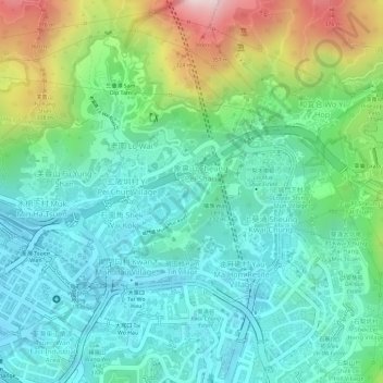
Name: Shing Mun Valley Park (North Garden) topographic map, elevation, terrain.
Average elevation: 133 m
Minimum elevation: 0 m
Maximum elevation: 446 m