
Tingalpa Creek topographic map
Interactive map
Click on the map to display elevation.
About this map
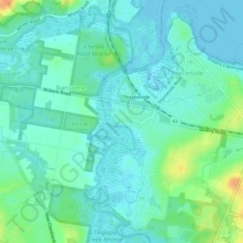
Name: Tingalpa Creek topographic map, elevation, terrain.
Location: Tingalpa Creek, Brisbane, Queensland, 4158, Australia (-27.50973 153.18412 -27.47216 153.19754)
Average elevation: 9 m
Minimum elevation: -1 m
Maximum elevation: 34 m
Other topographic maps
Click on a map to view its topography, its elevation and its terrain.