
Cannon Mountain topographic map
Interactive map
Click on the map to display elevation.
About this map
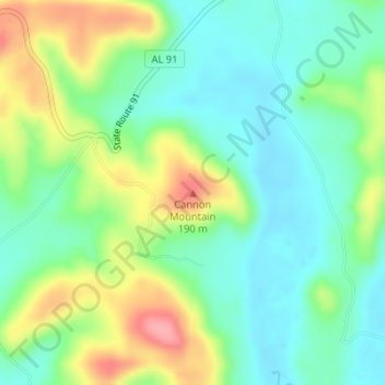
Name: Cannon Mountain topographic map, elevation, terrain.
Location: Cannon Mountain, Cullman County, Alabama, USA (33.88283 -86.97755 33.88293 -86.97745)
Average elevation: 119 m
Minimum elevation: 82 m
Maximum elevation: 189 m
Other topographic maps
Click on a map to view its topography, its elevation and its terrain.