
Ap Chau Pak Tun Pai topographic map
Interactive map
Click on the map to display elevation.
About this map
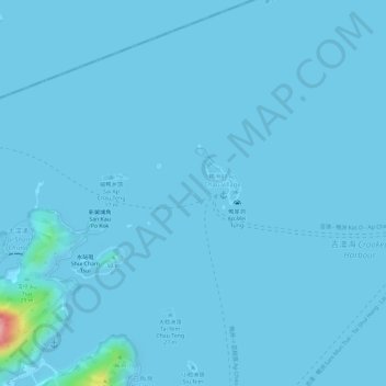
Name: Ap Chau Pak Tun Pai topographic map, elevation, terrain.
Average elevation: 3 m
Minimum elevation: -1 m
Maximum elevation: 136 m
Other topographic maps
Click on a map to view its topography, its elevation and its terrain.
Tai Nim Chau
Tai Nim Chau, So Lo Pun, North District, Hong Kong, PRC
Average elevation: 15 m