
Cerdido topographic map
Interactive map
Click on the map to display elevation.
About this map
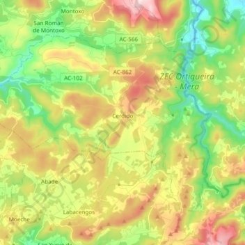
Name: Cerdido topographic map, elevation, terrain.
Location: Cerdido, Ortegal, La Coruña, Galicia, España (43.56552 -8.04707 43.64318 -7.89830)
Average elevation: 229 m
Minimum elevation: 11 m
Maximum elevation: 537 m
Other topographic maps
Click on a map to view its topography, its elevation and its terrain.