
Sejong topographic map
Interactive map
Click on the map to display elevation.
About this map
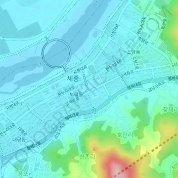
Name: Sejong topographic map, elevation, terrain.
Location: Boram-dong, Sejong, South Korea (36.47137 127.27741 36.48526 127.30023)
Average elevation: 43 m
Minimum elevation: 12 m
Maximum elevation: 212 m