
Sungai Udang topographic map
Interactive map
Click on the map to display elevation.
About this map
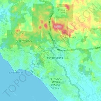
Name: Sungai Udang topographic map, elevation, terrain.
Location: Sungai Udang, Central Malacca, Malacca, Malaysia (2.24980 102.09046 2.32980 102.17046)
Average elevation: 33 m
Minimum elevation: 0 m
Maximum elevation: 128 m