
Robinson topographic map
Interactive map
Click on the map to display elevation.
About this map
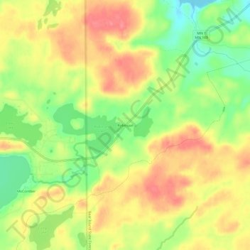
Name: Robinson topographic map, elevation, terrain.
Location: Robinson, Saint Louis County, Minnesota, USA (47.83936 -92.06182 47.87936 -92.02182)
Average elevation: 464 m
Minimum elevation: 425 m
Maximum elevation: 495 m