
Ban San Sai topographic map
Interactive map
Click on the map to display elevation.
About this map
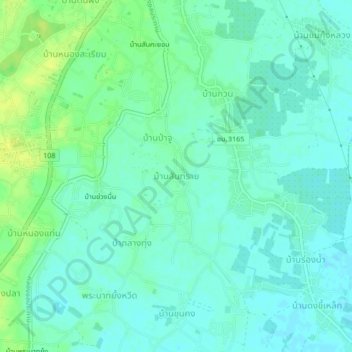
Name: Ban San Sai topographic map, elevation, terrain.
Location: Ban San Sai, Chiang Mai Province, 50120, Thailand (18.57187 98.88421 18.61187 98.92421)
Average elevation: 294 m
Minimum elevation: 288 m
Maximum elevation: 305 m