
Stillwater County topographic map
Interactive map
Click on the map to display elevation.
About this map
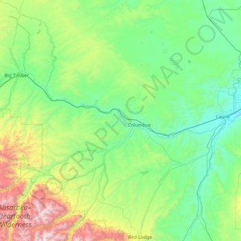
Name: Stillwater County topographic map, elevation, terrain.
Location: Stillwater County, Montana, USA (45.16718 -110.06592 46.13234 -108.84309)
Average elevation: 1,474 m
Minimum elevation: 981 m
Maximum elevation: 3,803 m