
Hoogeveen topographic map
Interactive map
Click on the map to display elevation.
About this map
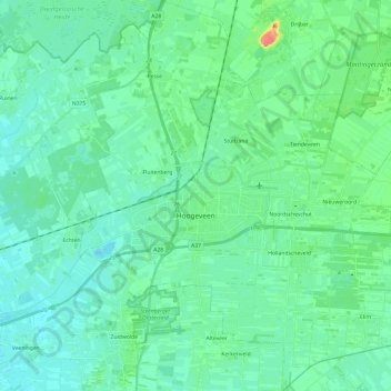
Name: Hoogeveen topographic map, elevation, terrain.
Location: Hoogeveen, Drenthe, Netherlands (52.65451 6.40360 52.80056 6.63241)
Average elevation: 12 m
Minimum elevation: 2 m
Maximum elevation: 51 m