
Nenzing topographic map
Interactive map
Click on the map to display elevation.
About this map
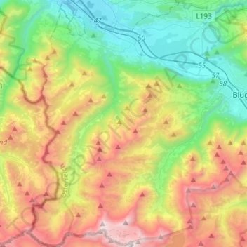
Name: Nenzing topographic map, elevation, terrain.
Location: Nenzing, Bludenz, Vorarlberg, 6710, Austria (47.05125 9.60705 47.21621 9.75683)
Average elevation: 1,403 m
Minimum elevation: 473 m
Maximum elevation: 2,943 m