
Red Hill topographic map
Interactive map
Click on the map to display elevation.
About this map
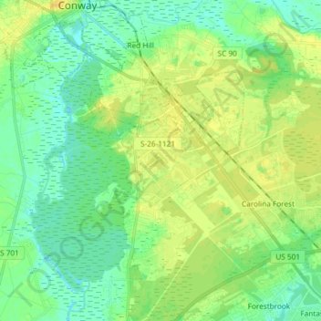
Name: Red Hill topographic map, elevation, terrain.
Location: Red Hill, Horry County, South Carolina, USA (33.71526 -79.03830 33.83767 -78.98597)
Average elevation: 9 m
Minimum elevation: -1 m
Maximum elevation: 18 m