
Markneukirchen topographic map
Interactive map
Click on the map to display elevation.
About this map
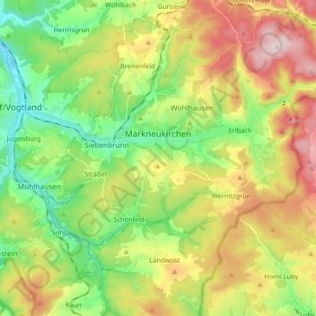
Name: Markneukirchen topographic map, elevation, terrain.
Location: Markneukirchen, Vogtlandkreis, Saxony, Germany (50.25354 12.27510 50.35413 12.43739)
Average elevation: 583 m
Minimum elevation: 432 m
Maximum elevation: 803 m