
Estremoz topographic map
Interactive map
Click on the map to display elevation.
About this map
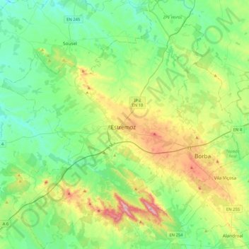
Name: Estremoz topographic map, elevation, terrain.
Location: Estremoz, Évora, Alentejo Central, Alentejo, Portugal (38.68486 -7.79995 39.00844 -7.45271)
Average elevation: 309 m
Minimum elevation: 178 m
Maximum elevation: 651 m