
Hörselberg-Hainich topographic map
Interactive map
Click on the map to display elevation.
About this map
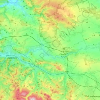
Name: Hörselberg-Hainich topographic map, elevation, terrain.
Location: Hörselberg-Hainich, Wartburgkreis, Thuringia, 99820, Germany (50.89446 10.37514 51.08424 10.61638)
Average elevation: 331 m
Minimum elevation: 184 m
Maximum elevation: 698 m