
Leinefelde-Worbis topographic map
Interactive map
Click on the map to display elevation.
About this map
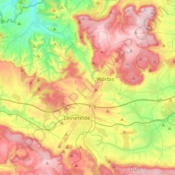
Name: Leinefelde-Worbis topographic map, elevation, terrain.
Location: Leinefelde-Worbis, Landkreis Eichsfeld, Thuringia, Germany (51.33787 10.22034 51.49028 10.42329)
Average elevation: 355 m
Minimum elevation: 185 m
Maximum elevation: 534 m