
Leutra topographic map
Interactive map
Click on the map to display elevation.
About this map
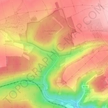
Name: Leutra topographic map, elevation, terrain.
Location: Leutra, Jena, Thuringia, Germany (50.95335 11.53667 50.95340 11.53717)
Average elevation: 313 m
Minimum elevation: 205 m
Maximum elevation: 370 m
Other topographic maps
Click on a map to view its topography, its elevation and its terrain.