
Oelze topographic map
Interactive map
Click on the map to display elevation.
About this map
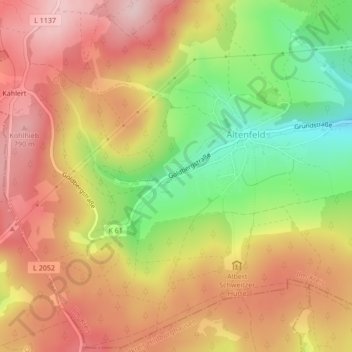
Name: Oelze topographic map, elevation, terrain.
Location: Oelze, Großbreitenbach, Ilm-Kreis, Thuringia, Germany (50.56119 10.95246 50.56129 10.95260)
Average elevation: 696 m
Minimum elevation: 562 m
Maximum elevation: 796 m