
Diera-Zehren topographic map
Interactive map
Click on the map to display elevation.
About this map
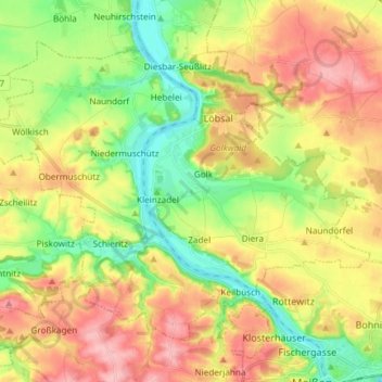
Name: Diera-Zehren topographic map, elevation, terrain.
Location: Diera-Zehren, Meißen, Saxony, Germany (51.17332 13.34463 51.24637 13.49304)
Average elevation: 152 m
Minimum elevation: 91 m
Maximum elevation: 221 m