
Waldhufen topographic map
Interactive map
Click on the map to display elevation.
About this map
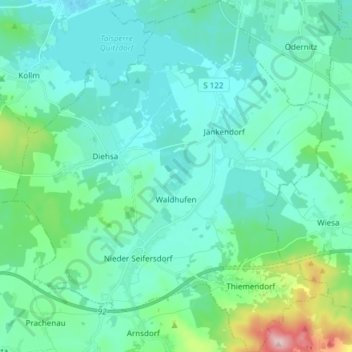
Name: Waldhufen topographic map, elevation, terrain.
Location: Waldhufen, Diehsa, Görlitz, Saxony, 02906, Germany (51.19217 14.72128 51.28668 14.85888)
Average elevation: 191 m
Minimum elevation: 151 m
Maximum elevation: 394 m