
Kyffhäuserland topographic map
Interactive map
Click on the map to display elevation.
About this map
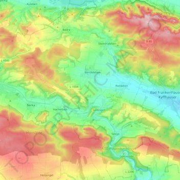
Name: Kyffhäuserland topographic map, elevation, terrain.
Location: Kyffhäuserland, Kyffhäuserkreis, Thuringia, 99707, Germany (51.28945 10.90105 51.42959 11.12271)
Average elevation: 267 m
Minimum elevation: 126 m
Maximum elevation: 475 m