
The Dalles topographic map
Interactive map
Click on the map to display elevation.
About this map
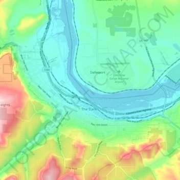
Name: The Dalles topographic map, elevation, terrain.
Location: The Dalles, Wasco County, Oregon, USA (45.58517 -121.22911 45.63415 -121.11867)
Average elevation: 111 m
Minimum elevation: 18 m
Maximum elevation: 348 m