
Grafenstein topographic map
Interactive map
Click on the map to display elevation.
About this map
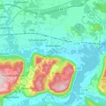
Name: Grafenstein topographic map, elevation, terrain.
Location: Grafenstein, Klagenfurt-Land, Carinthia, 9131, Austria (46.55941 14.41008 46.64957 14.53024)
Average elevation: 480 m
Minimum elevation: 387 m
Maximum elevation: 820 m