
Uelzen topographic map
Interactive map
Click on the map to display elevation.
About this map
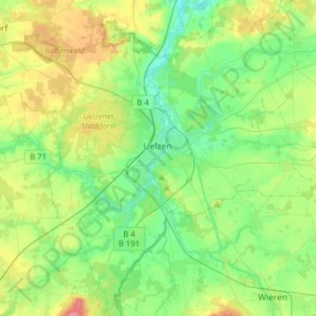
Name: Uelzen topographic map, elevation, terrain.
Location: Uelzen, Lower Saxony, 29525, Germany (52.87916 10.46627 53.04136 10.69705)
Average elevation: 59 m
Minimum elevation: 28 m
Maximum elevation: 127 m