
Tchirozérine topographic map
Interactive map
Click on the map to display elevation.
About this map
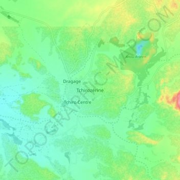
Name: Tchirozérine topographic map, elevation, terrain.
Location: Tchirozérine, Agadez, Niger (17.22612 7.79283 17.30612 7.87283)
Average elevation: 519 m
Minimum elevation: 487 m
Maximum elevation: 594 m