
Roborough Down topographic map
Interactive map
Click on the map to display elevation.
About this map
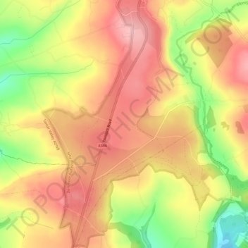
Name: Roborough Down topographic map, elevation, terrain.
Average elevation: 155 m
Minimum elevation: 60 m
Maximum elevation: 216 m
Other topographic maps
Click on a map to view its topography, its elevation and its terrain.
Yelverton
United Kingdom > England > Devon > West Devon > Yelverton
Yelverton, West Devon, Devon, England, PL20 6DR, United Kingdom
Average elevation: 169 m