
Gunung Rapat New Village topographic map
Interactive map
Click on the map to display elevation.
About this map
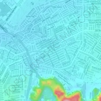
Name: Gunung Rapat New Village topographic map, elevation, terrain.
Location: Gunung Rapat New Village, Ipoh, Kinta, Perak, 31350, Malaysia (4.56808 101.11443 4.57671 101.12300)
Average elevation: 56 m
Minimum elevation: 38 m
Maximum elevation: 192 m