
San Martín topographic map
Interactive map
Click on the map to display elevation.
About this map
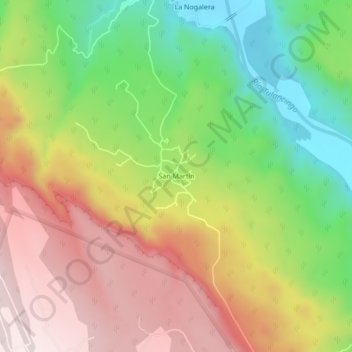
Name: San Martín topographic map, elevation, terrain.
Location: San Martín, Atotonilco el Grande, Hidalgo, México (20.34694 -98.67667 20.38694 -98.63667)
Average elevation: 1,654 m
Minimum elevation: 1,381 m
Maximum elevation: 1,930 m