
Yabous topographic map
Interactive map
Click on the map to display elevation.
About this map
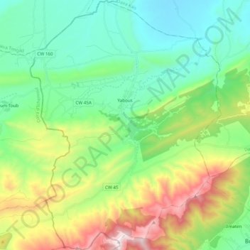
Name: Yabous topographic map, elevation, terrain.
Location: Yabous, Daïra Bouhmama, Khenchela, Algérie (35.31332 6.56839 35.47069 6.71629)
Average elevation: 1,365 m
Minimum elevation: 965 m
Maximum elevation: 2,314 m