
Mark Crossing topographic map
Interactive map
Click on the map to display elevation.
About this map
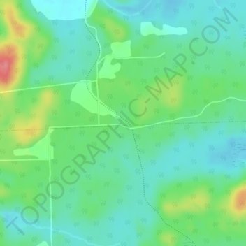
Name: Mark Crossing topographic map, elevation, terrain.
Average elevation: 178 m
Minimum elevation: 155 m
Maximum elevation: 234 m
Other topographic maps
Click on a map to view its topography, its elevation and its terrain.
Baie Shouldice
Canada > Quebec > Gracefield
Baie Shouldice, Chemin Alie, Gracefield, La Vallée-de-la-Gatineau, Outaouais, Quebec, Canada
Average elevation: 189 m