
Erg Ferradj topographic map
Interactive map
Click on the map to display elevation.
About this map
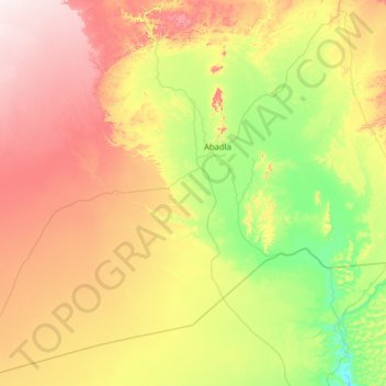
Name: Erg Ferradj topographic map, elevation, terrain.
Location: Erg Ferradj, Daïra de Abadla, Béchar, Algérie (30.35569 -3.79070 31.43446 -2.76443)
Average elevation: 678 m
Minimum elevation: 484 m
Maximum elevation: 1,021 m