
Tahra topographic map
Interactive map
Click on the map to display elevation.
About this map
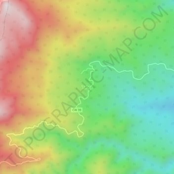
Name: Tahra topographic map, elevation, terrain.
Location: Tahra, Beni Zid, Daïra Collo, Skikda, Algérie (36.89765 6.41144 36.93765 6.45144)
Average elevation: 453 m
Minimum elevation: 122 m
Maximum elevation: 879 m