
Tanjung Pinggir topographic map
Interactive map
Click on the map to display elevation.
About this map
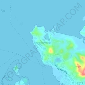
Name: Tanjung Pinggir topographic map, elevation, terrain.
Location: Tanjung Pinggir, Batam City, Riau Islands, 20444, Indonesia (1.10166 103.91969 1.14166 103.95969)
Average elevation: 14 m
Minimum elevation: -7 m
Maximum elevation: 124 m