
Farr topographic map
Interactive map
Click on the map to display elevation.
About this map
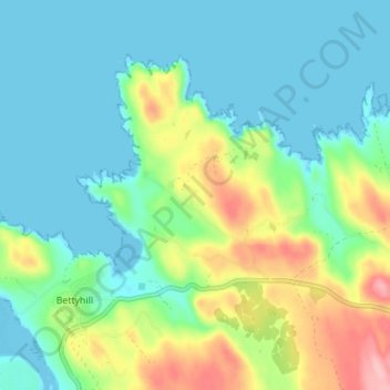
Name: Farr topographic map, elevation, terrain.
Location: Farr, Bettyhill, Highland, Scotland, KW14 7TA, United Kingdom (58.51869 -4.21893 58.55869 -4.17893)
Average elevation: 39 m
Minimum elevation: -1 m
Maximum elevation: 144 m